ServicesSurvey of Locate Markings
Civil 3D / AutoCAD deliverables
Survey of Utility Locate Markings
Convert field utility markings into accurate, survey-grade digital data for engineering design and construction. GPR Surveys Inc. provides survey of utility locate markings using high-precision GNSS and robotic total station equipment, delivering georeferenced underground utility information suitable for planning, design, and construction.
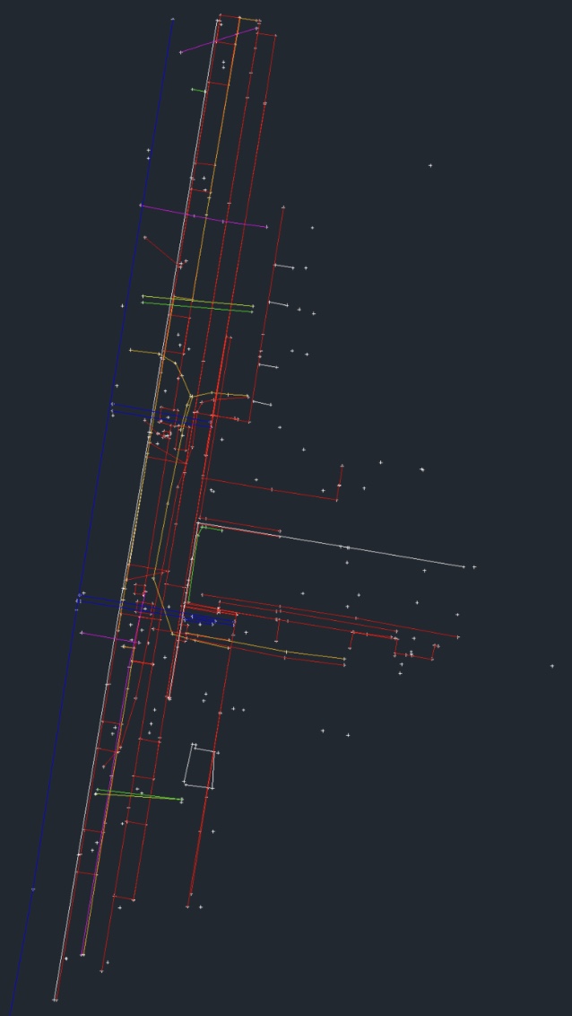
Utility markings are surveyed immediately after locating to capture accurate horizontal and vertical positions, utility attributes, and depth information. Our deliverables integrate seamlessly into engineering and GIS workflows, reducing drafting time and improving project coordination.
What You Get
Deliverables
01Civil 3D DWG Files
02AutoCAD DWG Files
03PDF Utility Plans
04Survey Control & Coordinates
05Utility Layers & Attributes
06CSV Point Files
07Engineering-Ready CAD Deliverables
Where It's Used
Typical Applications
Utility Conflict MappingEngineering & Design SupportSubsurface Utility Engineering (SUE)Environmental & Geotechnical ProjectsMunicipal & Civil InfrastructureUtility As-Built Documentation