Same-day reporting
Utility Locating & GPR Scanning
Protect your project by accurately locating underground utilities before excavation, drilling, trenching, or construction. GPR Surveys Inc. provides professional utility locating and Ground Penetrating Radar (GPR) scanning services throughout British Columbia, helping contractors, engineers, municipalities, environmental consultants, and property owners reduce risk and avoid costly utility strikes.
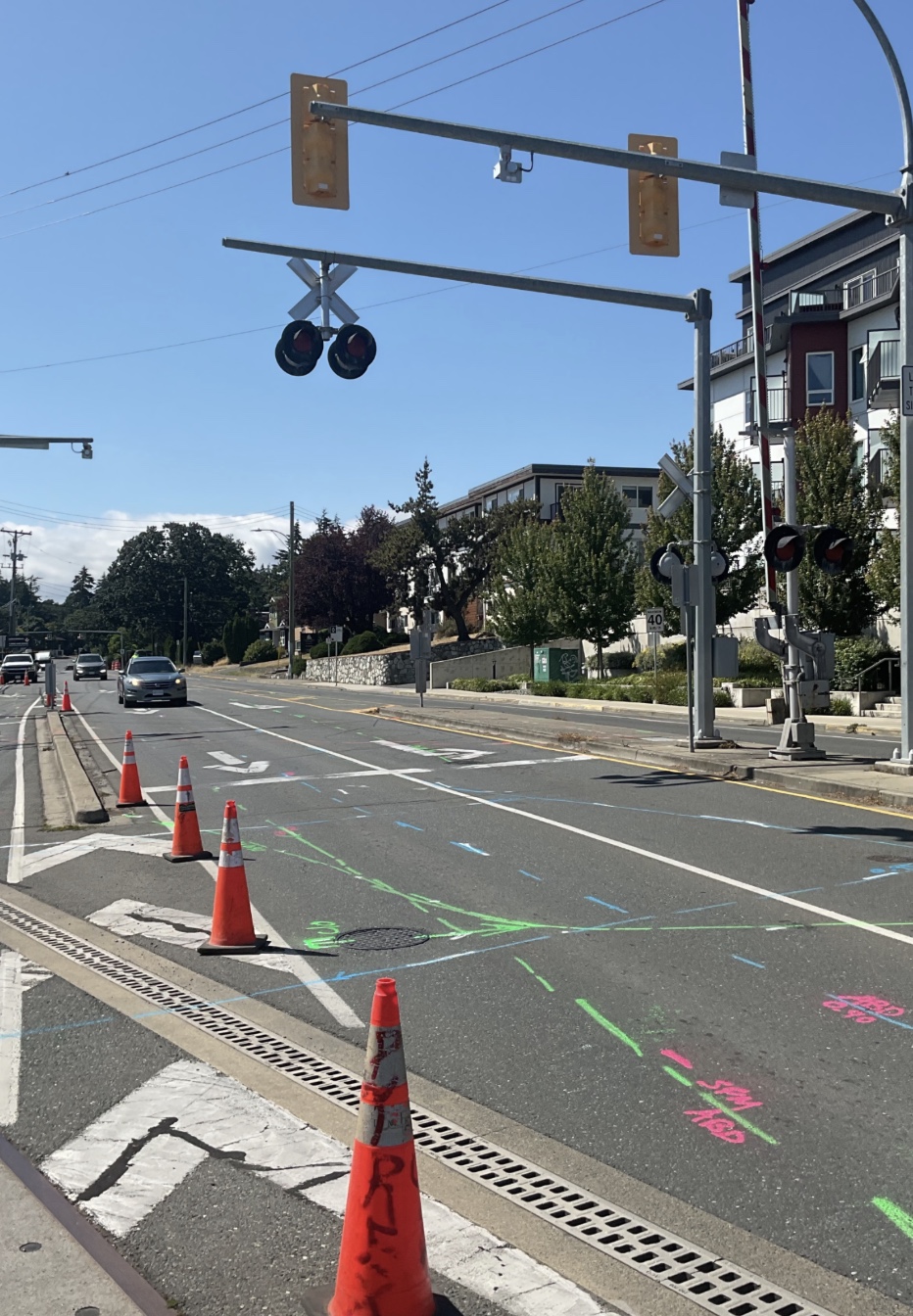
Our experienced team combines electromagnetic (EM) locating, Ground Penetrating Radar (GPR), utility record review, BC 1 Call information, GIS mapping, and field investigation techniques to identify underground infrastructure, including power, telecommunications, water, natural gas, sanitary, storm, irrigation, and abandoned utilities where detectable.
Whether supporting environmental drilling, civil construction, infrastructure upgrades, utility mapping, or due diligence investigations, we deliver reliable field data, clear utility markings, and detailed documentation to keep your project moving safely and efficiently.
What You Get
Deliverables
Where It's Used