Topographic Surveys · Utility Surveys · Construction Layout · Monitoring Well Surveys · As-Built Surveys · Volume Surveys
Land Surveying Services
GPR Surveys Inc. provides professional land surveying services to support civil construction, environmental projects, utility infrastructure, and engineering design throughout British Columbia. Using survey-grade GNSS and robotic total station technology, we deliver accurate, reliable spatial data to help clients plan, design, construct, and document their projects with confidence.
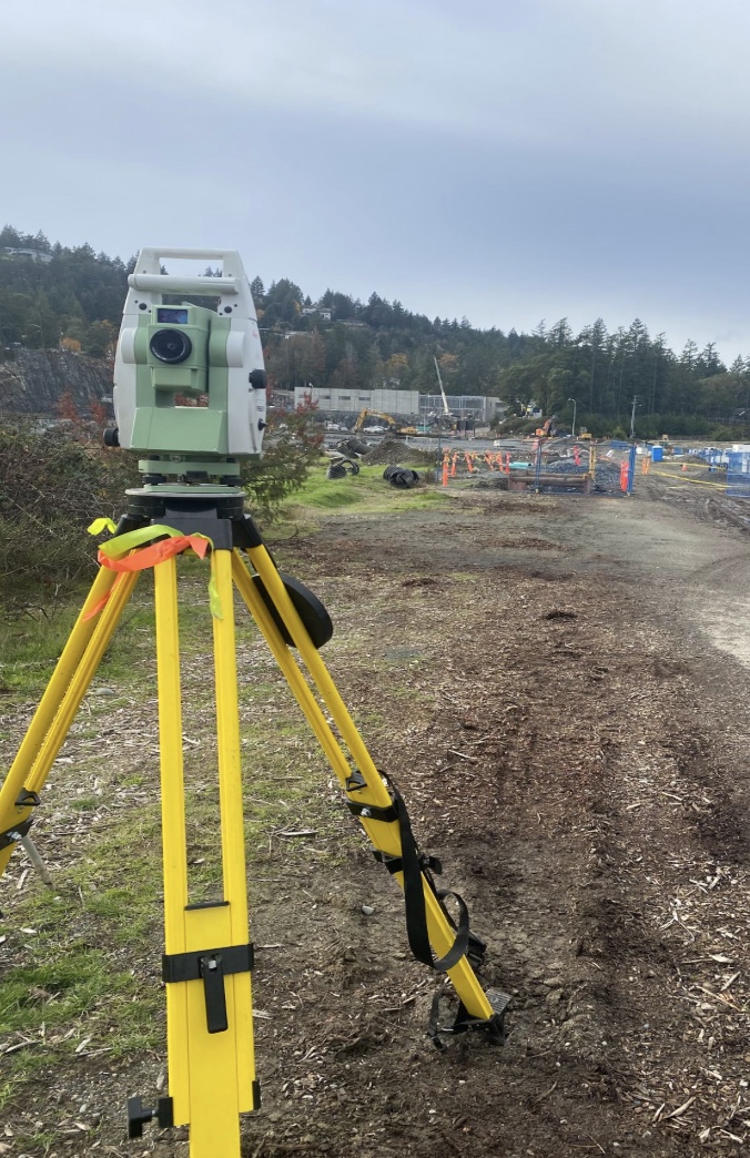
Our experienced survey team offers topographic surveys, utility surveys, construction layout, monitoring well surveys, as-built surveys, stockpile and earthwork volume calculations, and customized CAD deliverables. Whether your project involves municipal infrastructure, environmental investigations, commercial developments, or industrial facilities, we provide precise survey data tailored to your project requirements.
What You Get
Deliverables
Where It's Used